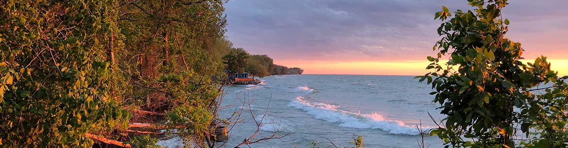
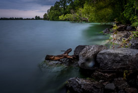
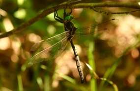
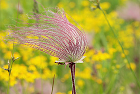
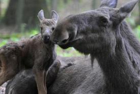
Natural Areas
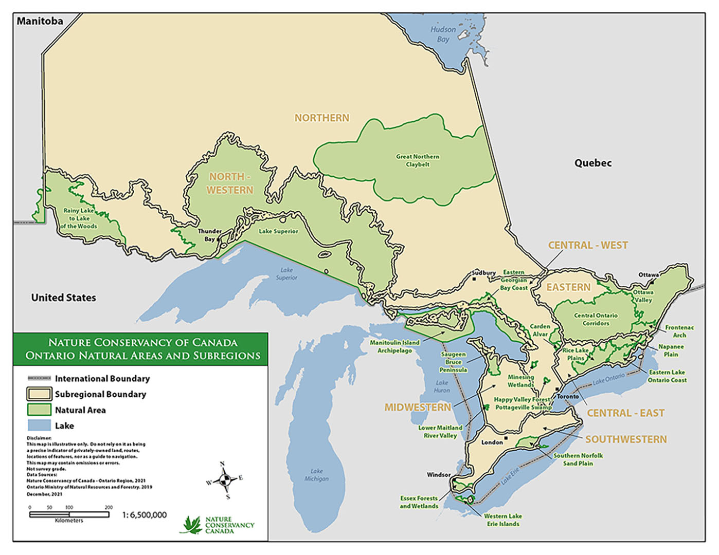
Where NCC works in Ontario.
Click to enlarge.
The Nature Conservancy of Canada's (NCC's) on-the-ground work is led by a team of conservation science professionals who work to identify, plan and execute the protection of the best of Canada's natural spaces.
While we strive to work to protect as many of Canada's unique habitats as possible, we focus our conservation work in priority areas, identified through science-based planning initiatives. These are areas where species and ecosystems face the greatest threats. In Ontario, we work in 17 priority natural areas. Together, these landscapes span the wide range of habitats and ecosystems that make Ontario unique.
-
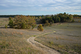
Carden Alvar Natural Area
Located northeast of Lake Simcoe, the Carden Alvar supports some of the highest quality and most extensive alvar habitat on the planet within a mosaic of grassland, wetland, and forest. Read more »
-
Central Ontario Corridors Natural Area
The Central Ontario Corridors Natural Area connects several Nature Conservancy of Canada (NCC) natural areas, including Carden Alvar, Rice Lake Plains, Napanee Plain, Frontenac Arch and the Ottawa Valley. Read more »
-
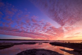
Eastern Lake Ontario Coast
The Eastern Lake Ontario Coast Natural Area is home to provincially, nationally and even globally significant habitats and species. It contains a rich mosaic of coastal wetlands, forests, streams, sand beaches, and globally rare communities such as alvars and sand dunes. Read more »
-
Essex Forests and Wetlands Natural Area
Located in the southwest corner of Ontario lies a rich collection of Carolinian forests, wetlands, prairies and Lake Erie shoreline. NCC’s Essex Forests and Wetlands Natural Area is an area of important biodiversity bordered by Lake Erie to the south, the Detroit River to the west and Lake St. Clair to the north. Read more »
-
Frontenac Arch Natural Area
Frontenac Arch Natural Area is a quintessential Ontario wilderness in eastern Ontario. Made up of a unique blend of forests, wetlands and lakes, this area provides habitat for thousands of species. Read more »
-
Great Northern Clay Belt Natural Area
The Great Northern Clay Belt is an expansive tract of fertile soil stretching from Cochrane District, Ontario, to Abitibi County, Quebec. The Clay Belt is surrounded by Canadian Shield and supports vast forests, peatlands and rivers. Read more »
-
Happy Valley Forest – Pottageville Swamp Natural Area
Surrounded by the growing metropolis of the Greater Toronto Area (GTA) in southern Ontario, Happy Valley Forest – Pottageville Swamp is a natural oasis with vast ecological, historical and cultural importance. Read more »
-
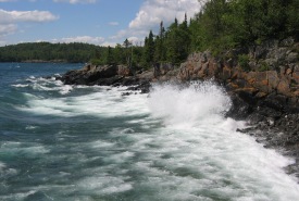
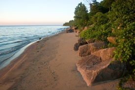
Lake Superior Natural Area
The northwestern shores of Lake Superior are a unique landscape and an important area for Great Lakes biodiversity as well as part of the Lake Superior National Marine Conservation Area. Read more »
-
Lower Maitland River Valley Natural Area
The Lower Maitland River Valley Natural Area is part of the Eastern Great Lakes Lowland Forests region, which occurs as a narrow band stretching from the central shores of Lake Huron in Ontario, across the north shore of Lake Ontario and along the St. Lawrence River corridor into Quebec and northern New York State. Read more »
-
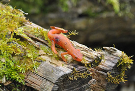
Manitoulin Island Archipelago Natural Area
The Manitoulin Island Archipelago Natural Area is globally significant for its undeveloped Great Lakes shorelines and rare habitats, which support several species at risk, such as lakeside daisy and Hill's thistle. Read more »
-
Minesing Wetlands
Located 15 kilometres west of Barrie lies one of the largest and least disturbed wetlands in southern Ontario. Comprising approximately 10,937 hectares (27,025 acres) of wetlands, fields and forests, the Minesing Wetlands are often referred to as the “Everglades of the North.” Read more »
-
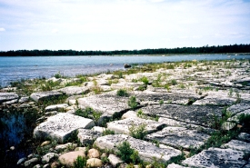
Napanee Plain Natural Area
One of North America’s great limestone plain landscapes, the Napanee Plain is a rich complex of wetlands, forests, lakes, grasslands and alvars. Read more »
-
Ottawa Valley Natural Area
The Ottawa Valley Natural Area in Ontario includes over 16,300 square kilometres of land and waters between the Ottawa River and St. Lawrence River. Read more »
-
Rainy Lake to Lake of the Woods
The Rainy Lake to Lake of the Woods Natural Area is one of Ontario’s largest natural areas, spanning almost 2 million hectares (almost 5 million acres). Read more »
-
Rice Lake Plains Natural Area
The rolling hills of the Rice Lake Plains Natural Area lie in the heart of a historical tall grass landscape, which has all but disappeared. Read more »
-
Saugeen Bruce Peninsula Natural Area
World-renowned for its diversity of orchids and ferns, the Saugeen Bruce Peninsula is one of the best hotspots for biodiversity in the Great Lakes. Read more »
-
Southern Norfolk Sand Plain FAQs
Frequently asked questions about the Southern Norfolk Sand Plain and NCC. Read more »
-
Southern Norfolk Sand Plain Natural Area
Norfolk County is a biodiversity hot spot and part of the Carolinian Life Zone; a unique ecosystem that extends northward from the Carolinas to its northern most point in southwestern Ontario. Read more »
-
Western Lake Erie Islands Natural Area
The nine Canadian islands in Lake Erie support incredibly diverse natural features and an unusually high density of Ontario's rare species Read more »