An important study of the Rivière aux Brochets system
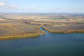
Pike River, Montérégie, QC (Photo by NCC)
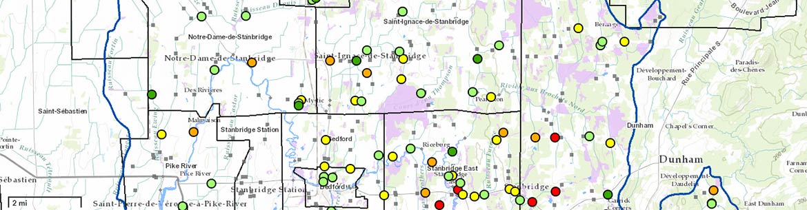
Connection, network, throughput: no, we're not talking about Wi-Fi, we're talking about waterways. The Nature Conservancy of Canada (NCC) is very involved in conservation of the Rivière aux Brochets area in the Eastern Townships, where a two-year study has yielded much information about the health of the water system. The team studied 200 hundred crossings to identify water flow problems.
The study revealed that the flow and discharge of the river’s various tributaries are not optimal at all locations due to misaligned culverts. Further action is required to prevent flooding and to allow fish to move freely through the system. We have been working with the municipalities to present the results of the study and to implement solutions.
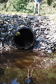
Water crossing at Rivière aux Brochets, QC (Photo by NCC)
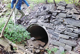
Crossings, bridges and culverts
The Rivière aux Brochets watershed area is comprised of all the lands drained by the streams connected to the larger river. As this area is populated and cultivated, there are many river crossings for both foot traffic and machinery. These crossings, which can be wooden bridges or simple pipes laid in the stream, are sometimes poorly adapted or degraded and can have an impact on the land. The study showed that 25 out of the 200 crossings were problematic and needed improvement.
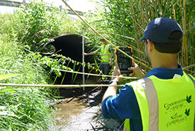
Field study on water crossings at Rivière aux Brochets, QC (Photo by NCC)
NCC encourages the replication of this study in other areas to identify any issues that might be present and to integrate this knowledge into regional planning (e.g. Regional Wetland and Water Conservation Plans).
The study’s methodology (French only) is freely available to all.
Flooding and connectivity
Water crossing at Rivière aux Brochets, QC (Photo by NCC)
While there are many consequences of a misaligned culvert, the two that were emphasized in the study were flooding and fish movement. If misaligned, the water can overflow its banks and cause flooding, especially in the spring. If the culvert is placed too high, water cannot flow through it to irrigate the area during summer droughts. These culverts are also critical to fish movement and must be well fitted to maintain aquatic connectivity.
View the interactive map (French only) to see the results of the NCC study and to see the crossings that would benefit from restoration.
NCC would like to thank our partners who helped carry out this project.
Gouvernement du Québec