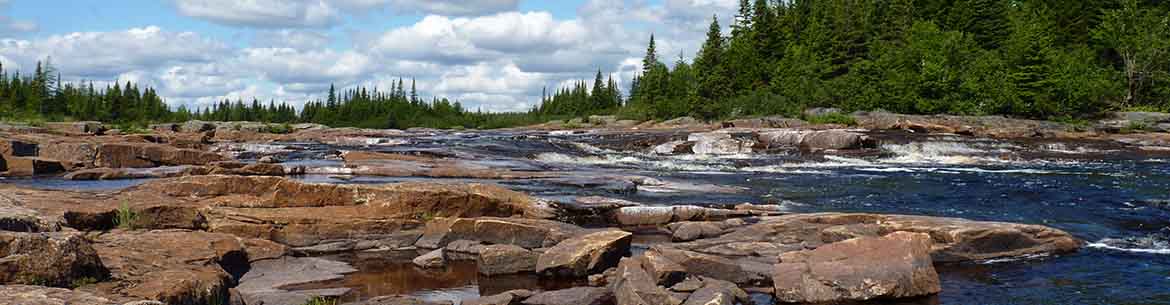
NL Nature Atlas
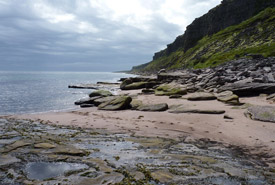
Forteau Coast, southern Labrador, Newfoundland and Labrador (Photo by Lindzay Notzl))
The Labrador Nature Atlas was completed in 2013 as a collaboration between the Nature Conservancy of Canada (NCC) and the Environmental Policy Institute (EPI) of Grenfell Campus, Memorial University. The Labrador Nature Atlas makes digital information about the geography and biological features of Labrador accessible while sharing findings openly with interested audiences. This project was undertaken with the support of a diverse group of funders and partners, including the Government of Newfoundland and Labrador, Nunatsiavut Government, Innu Nation, NunatuKavut Community Council and many others.
One of its goals was to encourage collaboration between interest groups, such as Indigenous organizations, students, professors, community members, land management experts and GIS professionals.
PDF downloads of Volumes 1 and 2 of the Labrador Nature Atlas can be found here:
If you have any questions about the Labrador Nature Atlas, please contact atlantic@natureconservancy.ca