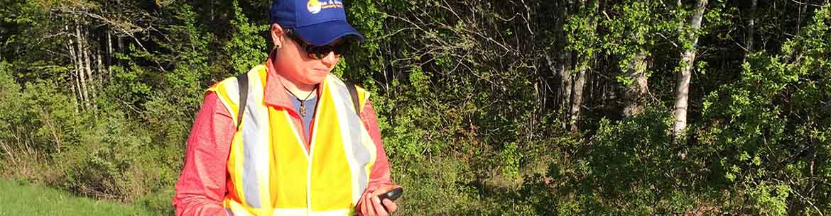
WildPaths Maritimes using iNaturalist app
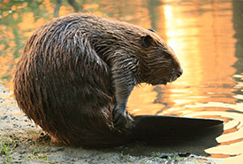
Beaver (Photo by Cheryl Reynolds)
WildPaths Maritimes is a volunteer citizen science project created by the Nature Conservancy of Canada (NCC). The project's goal is to protect wildlife moving between New Brunswick and Nova Scotia. NCC has protected 3,000 acres (1,214 hectares) of land in the area and has future projects planned to help secure a permanent wilderness corridor for wildlife in the region.
WildPaths Maritimes is modelled and named after the Cold Hollow to Canada WildPaths program, which in turn is based on the Maine Audubon's Road Watch project.
As part of the project, NCC is inviting residents and drivers to become citizen scientists by taking photos and documenting wildlife using a mobile application called iNaturalist. The goal of the project is to identify sections of highways that present the greatest barriers to wildlife and to find safer solutions for both animals and people. The app allows users to record species of wildlife, the location of wildlife and other valuable information and add it to a database.
We welcome reports on wildlife anytime and anywhere in the Maritimes on iNaturalist, but NCC is also looking for volunteers to Adopt a Roadway in the Chignecto Isthmus (Moncton to Truro). You may pick a section of road that you travel frequently, whether by walking, biking or driving, and make monthly reports within season to the WildPaths Maritimes project. For more information, please contact Courtney Thompson at 1-877-231-4400 or courtney.thompson@natureconservancy.ca.
What is iNaturalist?
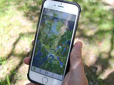
iNaturalist is a citizen science project and mobile app built on the concept of mapping and sharing observations of wildlife and biodiversity across the globe. Observations may be added via mobile phone or on the iNaturalist website. The observations provide valuable data to scientific research projects, conservation agencies, other organizations and the public.
Follow these steps to start collecting data for our project:
1) Go to the app store and download the iNaturalist app and create an account.
2) Once inside the iNaturalist app, search for and join the WildPaths Maritimes Project.
3) Turn on the geotagging feature.
4) Take pictures of wildlife and upload them directly to the project.
Need help with this feature? Try using the online video tutorial for iNaturalist by visiting https://www.inaturalist.org/pages/video+tutorials.
To view a segment that aired on CTV News, please visit: https://atlantic.ctvnews.ca/citizen-scientists-asked-to-help-track-wildlife-near-new-brunswick-nova-scotia-border-1.3973329
This project is in partnership with the New Brunswick Department of Transportation and Infrastructure, the Atlantic Wildlife Institute and Dalhousie University and funded by:
![]()
![]()