Freshwater Conservation Blueprint
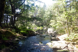
Stream on Stehelin property, NS (Photo by NCC)
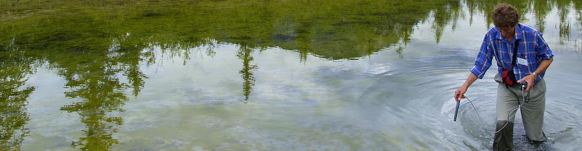
The Freshwater Conservation Blueprint is a project created and led by conservation staff from the Nature Conservancy of Canada (NCC). A suite of five tools were developed to help assess the health of aquatic and riparian ecosystems for New Brunswick, Nova Scotia, PEI and southern Quebec. The goal is to use this information to improve conservation throughout the region and across borders. The Freshwater Conservation Blueprint will enable better land-use planning and conservation across watersheds, provinces and even between Canada and the U.S. Until now, freshwater conservation efforts that crossed provincial or national borders had been hampered by incomplete or incompatible information.
The first of its kind in Eastern Canada, the project includes information about rivers and streams that will help inform the protection of vulnerable habitats and the species that live there. This project was four years in the making. It was made possible by the input and support from more than 80 organizations, including:
- Environment and Climate Change Canada
- North Atlantic Landscape Conservation Cooperative
- Social Sciences and Humanities Research Council of Canada
- Trottier Family Foundation
- Salamander Foundation
- Sustainable Forestry Initiative
According to Pat Nussey, conservation science and planning lead for NCC’s Atlantic Region, this project was designed to assist municipal, provincial, and natural resource planners; watershed organizations, and other conservation groups in making decisions that will help protect aquatic and riparian area species and habitats. Our hope is that the information provided here will be incorporated into conservation and land-use planning as decision-makers consider how climate change and other threats could impact streams and rivers over time.
Five pieces of NCC’s Freshwater Conservation Blueprint
Active River Area (ARA): Effective freshwater conservation must consider more than just the water. The Active River Area framework is an approach that looks to map the extent of important hydrological processes involved in ensuring freshwater systems remain healthy over time. To learn more about ARA click here.
Aquatic Connectivity Tool is designed to assess the relative impacts of aquatic barriers across watersheds in the Maritimes and eastern Quebec, and prioritize barrier removal for maximum conservation benefit.
Freshwater Resilience to Climate Change is designed to identify freshwater networks that are most likely to be resilient in the face of climate change, and therefore continue to provide suitable habitat for their full suite of biodiversity. To learn more about Freshwater Resilience click here.
Stream Classification (v2.0): categorizes all streams and rivers in the region based on five ecological variables: size, gradient, temperature, alkalinity, and tidal influence.
Watershed Health Assessment (WHA) is designed to evaluate the relative health of watersheds through the creation of a watershed stress index. The results can help inform watershed level conservation and restoration decisions.
The user-friendly maps and scientific data compiled by NCC are now available online free of charge, here.