Active Rivers Area project: Supporting nature-based solutions for rivers, fish and communities
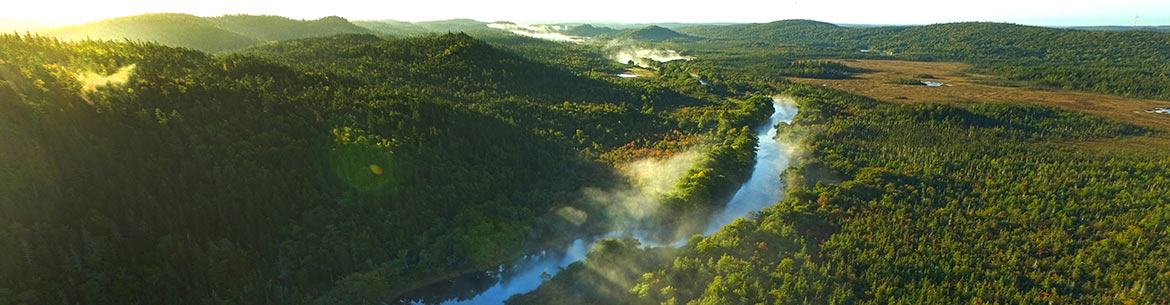
Musquodoboit River, NS (Photo by NCC)
Throughout the Nature Conservancy of Canada’s (NCC’s) history, there have been significant improvements in identifying areas for conservation. Early emphasis was placed on protecting small hand-picked and isolated pockets of land thought to be important for wildlife species. While a great deal of conservation was accomplished, advancements in computer modeling and mapping technology have helped us better identify the ecological connections between habitats and the importance of addressing the systemic nature of the world around us.
Related content:
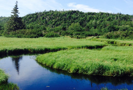
One recent example is the Active Rivers Area project. This three-year project, developed with funding from Environment and Climate Change Canada and the Sustainable Forestry Initiative, used geomatic information mapping software to map the full extent of riparian zones across the three Maritime provinces and southern Quebec. A riparian zone is the connection between the land and rivers, lakes and streams. Riparian zones are critical in moderating the temperature of streams, regulating nutrients in river systems, protecting shorelines from erosion, storing water during flood events, and providing important habitat and movement corridors for wildlife.
Traditional riparian zone mapping uses a fixed-width (typically 20–30 metres) buffer along streams applied to regulate activities such as forestry and development. Many studies have shown, however, that fixed-width buffers do not account for the full complexity of riparian zones and fail to protect aquatic systems as a whole. The Active Rivers Area approach to riparian zone mapping was designed to better account for the full extent of riparian zones beyond fixed width buffers. By knowing their extent, this method can help identify watersheds where riparian zones remain relatively intact and suitable for conservation action, and where they are most degraded and would benefit more from restoration activities.
This action of prioritizing watersheds for conservation and restoration is important in the recovery efforts for species, such as Atlantic salmon and brook trout. These cold-water fish species require cold, sediment-free water for successful spawning. Rivers and streams are currently under stress from climate change and increased sedimentation. More intact riparian zones are critical in buffering these impacts. Because of this project, we now have a better sense of where conservation and restoration activities will have the most benefit on these species’ survival.
The potential benefits of this project extend well beyond conservation for salmon and trout. For example, by identifying and conserving key areas of floodplain forest, we can protect or restore forest cover to improve drinking water quality. These actions can also help reduce the impacts of downstream flooding that is expected to increase as the climate warms.
Through the Active Rivers Area project, NCC and its partners are pioneering a “whole rivers” conservation approach that can have tremendous benefits for both wildlife and our own communities.