Stories From the Field
-
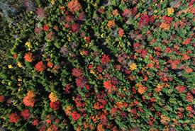
Be thankful for nature, and nature will thank you
Every October, Atlantic Canadians are treated to a natural phenomenon, as our landscapes transform into a vivid wash of vibrant oranges, yellows and reds. At NCC we are thankful for Atlantic Canada’s diverse habitats, which provide us with important ecosystem services. Read more »
-
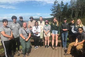
Summer adventures with interns in Atlantic Canada
As summer 2023 comes to an end, let’s celebrate the success of Nature Conservancy of Canada interns in Atlantic Canada and their projects. Read more. Read more »
-
Restoring memories through nature conservation
Read on to find out why Cheryl Coffin, a U.S. citizen, decided to donate her Miramichi Bay property for conservation. Read more »
-
Interns of Atlantic Canada
Looking after migratory shorebirds, debris cleanup, bringing awareness to communities and more — the Nature Conservancy of Canada (NCC) interns of 2022 did it all. Read along to learn more about these eager young individuals and their achievements over the summer. Read more »
-
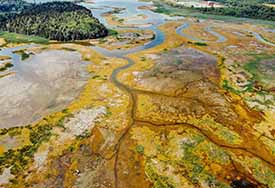
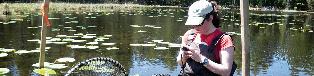
Thank a wetland!
NCC staff assessed wetlands in and around the harbour. These wetlands provide valuable ecosystem services to all of us. Ecosystem services are natural functions of wetlands, which provide direct and indirect economic, cultural and social benefits to people.Read more »
-
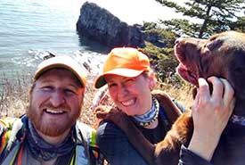
It started with a hatchet and a dream
The wilderness trails that Leah and Adam have worked on connect to the Nature Conservancy of Canada’s Five Fathom Hole and Black Beach Trails, and the trail network extends from the community of Lorneville to Prince of Wales.Read more »