Tails from the Field: Mapping the way to conservation
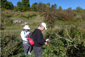
Using a GPS to find sign coordinates at Fishing Lake, ON (Photo by Nick Tardif)
If you've ever been frustrated when your car’s GPS directed you the wrong way, you know the plight of the conservation biologist. Staff at the Nature Conservancy of Canada (NCC) rely heavily on GPS systems, maps and co-ordinates. And we're thirsty for accuracy and efficiency. If we are searching for a rare plant in a dense field, knowing where to look to "within three metres" can make a big difference. If we are working in the rain or snow, it's easy to get impatient when our GPS loses its signal...for the third time…that hour.
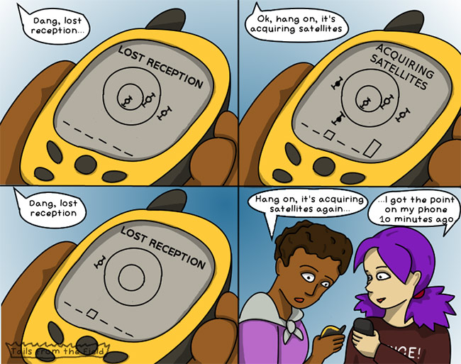
Illustration by Liv Monck-Whipp/Tails from the Field
By making digital maps of different habitat types and species, we can plan our conservation work and measure results over time. We can see if the area covered by an invasive species is growing or shrinking over a period of time. Or how many hectares of habitat a restored area could add to an existing forest. Or maybe, we'll see six more observations of a species at risk, like prothonotary warbler or Blanding's turtle, than we did the year before.
Within Ontario, NCC has recently switched from using a standard GPS device to a new geographic information systems (GIS) app. I, for one, have never been happier. Instead of loading data on and off the GPS, I can tap a button on my smartphone or tablet to sync the device to an online database. This means that not only can I see what I've recorded, but I can see what my co-workers have added. Or see data from decades ago! Previously, we would juggle files around and have our hardworking GIS staff integrate them into the database manually. Now, I can also view this database when back at the office. This visual representation can be helpful for figuring out conservation goals.
As technology continues to improve, conservation biologists will find more and more ways to use it to understand nature. And not get lost on the highway.
You can help contribute to NCC's knowledge database! Record your species observations using citizen science apps like eBird and iNaturalist.
About the Author
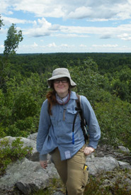
Liv Monck-Whipp joined NCC in 2014 and is responsible for coordinating and conducting stewardship on over 2,500 hectares of conservation lands in Norfolk County and Niagara Region.
